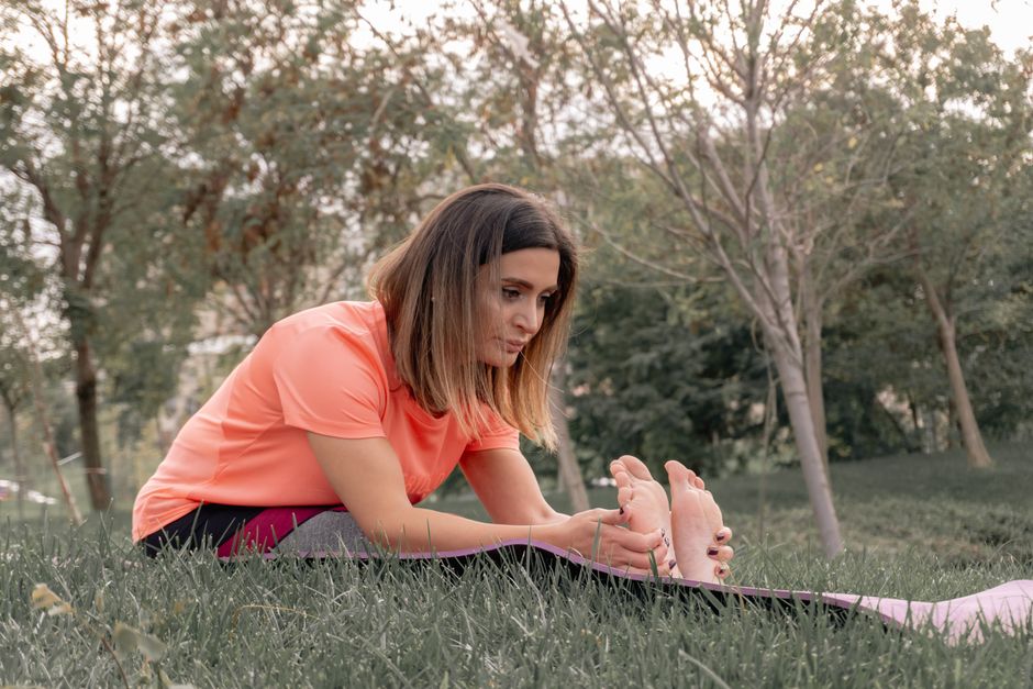
Detroit's outdoor fitness scene has a secret: the city holds more than 5,800 acres of parkland, and the walking trails threaded through that green space range from pancake-flat riverfront paths to genuinely demanding wooded loops that will humble casual hikers. With heat indexes already cracking 90°F this week and the Fourth of July holiday pulling thousands of residents outside, knowing which trail matches your fitness level isn't just convenient — it's the difference between a great morning and a blown knee.
Demand for outdoor exercise options spiked after the pandemic and hasn't fully receded. Detroit's Department of Parks and Recreation recorded roughly 3.2 million visits to city parks in 2025, up about 18 percent from 2022, according to departmental figures. Trail wear at Riverside Park near the Ambassador Bridge has prompted the city to resurface 1.4 miles of pathway since January 2026. Fitness culture here is real and growing, fed by organizations like the Detroit Pedestrian Club — which has run organized city walks since 2009 — and the weekly free group hikes hosted by Black Girls Do Bike Detroit out of the Dequindre Cut corridor.
The Easy End: Riverwalk and the Dequindre Cut
Start with the Detroit Riverwalk if you're new to the habit or returning from injury. The paved path runs 5.5 miles along the Detroit River from Gabriel Richard Park on the east side to Milliken State Park, then connects to additional sections pushing toward the west side. Elevation change is negligible — less than 20 feet end to end. Surface is smooth, water fountains are placed every half mile roughly, and the views across to Windsor, Ontario keep the miles honest. Difficulty: beginner. Round trip from the Renaissance Center to Gabriel Richard Park and back is about 4.4 miles.
The Dequindre Cut adds a harder urban edge without adding much physical difficulty. This 2-mile converted rail corridor runs from the Eastern Market neighborhood down to the Riverwalk, dropping about 25 feet in grade. The concrete surface is well-maintained, public art lines the retaining walls, and the Cut connects directly to the Riverwalk's eastern terminus. Experienced walkers often link the two routes into a 9-mile circuit. Difficulty: beginner to low-intermediate.
Stepping Up: Belle Isle and the Rouge Park Loops
Belle Isle State Park — the 982-acre island in the Detroit River managed by Michigan DNR since 2014 — is where fitness goals start to mean something. The perimeter road trail circles the island at just over 5 miles. Add in the interior paths through the nature center wetlands near the island's east end and you're looking at 7 to 8 miles with soft-surface sections that test ankle stability. Deer are common on morning visits. DNR day-use vehicle fee is $12 per car as of 2026, but pedestrians and cyclists enter free. Difficulty: low to moderate, depending on route choices.
Rouge Park on the city's west side, centered around the junction of the Rouge River and Spinoza Drive off Outer Drive, is Detroit's most underrated fitness destination. The park covers 1,184 acres — the largest in the Detroit city limits — and the natural-surface trail network includes a 3.4-mile loop through second-growth forest that gains about 80 feet of elevation, modest by national standards but enough to feel like actual hiking. The path turns muddy after rain and isn't lit, so morning visits before 8 a.m. are best in July. The Friends of Rouge Park volunteer group hosts free monthly trail-clearing events and posts current trail conditions on their website. Difficulty: moderate.
For anyone chasing something closer to strenuous without leaving the city, the full Rouge Park trail system can be stitched together into an 8-mile out-and-back that tests cardiovascular fitness honestly. Trekking poles are not overkill on the steeper river-bank sections near the golf course boundary.
Before heading out on any trail longer than 3 miles in this heat, carry at least 20 ounces of water per hour of planned activity — a basic standard recommended by sports medicine practitioners. Anyone managing joint issues or chronic conditions should check with a local medical professional before ramping up mileage. The Detroit Health Department's Community Health Corps runs free wellness navigation sessions at the Herman Kiefer Health Complex on Hamilton Avenue most Thursdays, a useful first stop if you're unsure where to begin.